The asset owner or authority responsible for the structure – federal, regional or municipal government, railway operator, utility or private owner. The duty follows from the structural inspection regime (DIN 1076 in Germany, RVS 13.03.11 in Austria) and from the general duty of care. It cannot be discharged simply by not looking at the part that lies underwater.
Yes. DIN 1076 explicitly states that scour and deposition in watercourses are to be taken into account during the inspection. Both are by definition below the waterline. The standard does not prescribe whether this is done by divers, by an ROV or by sonar – only that the condition must be established.
Under DIN 1076 a special inspection is required after major events capable of affecting the condition of the structure; flooding is named explicitly, as are impact, fire and exceptional loading. The reason is the bed: a scour hole can form or deepen within hours during a single flood event. The scope is set by the owner together with the inspection engineer.
In Austria, RVS 13.03.11 governs the monitoring, checking and inspection of bridges; ÖNORM B 4008-2 covers the assessment of the load-bearing capacity of existing bridge structures. The logic is the same as in Germany: the condition has to be established, including where it cannot be seen. We work to both frameworks and deliver the survey so that your inspection engineer can use it directly.
Under DIN 1076 a main inspection takes place every six years and a simple inspection three years after that, with ongoing monitoring and visual checks in between. How far the submerged part is covered on each occasion is agreed between owner and inspection engineer. Independently of the cycle, a special inspection is required after significant events.
In practice the most critical part of the structure stays unassessed: the foundation carries the entire load, and an exposed pile or a deep scour hole cannot be seen from above. Legally the duty of care remains regardless of whether the condition is known. An inspection whose report notes the submerged part as “not accessible” does not close the gap – it merely documents it.
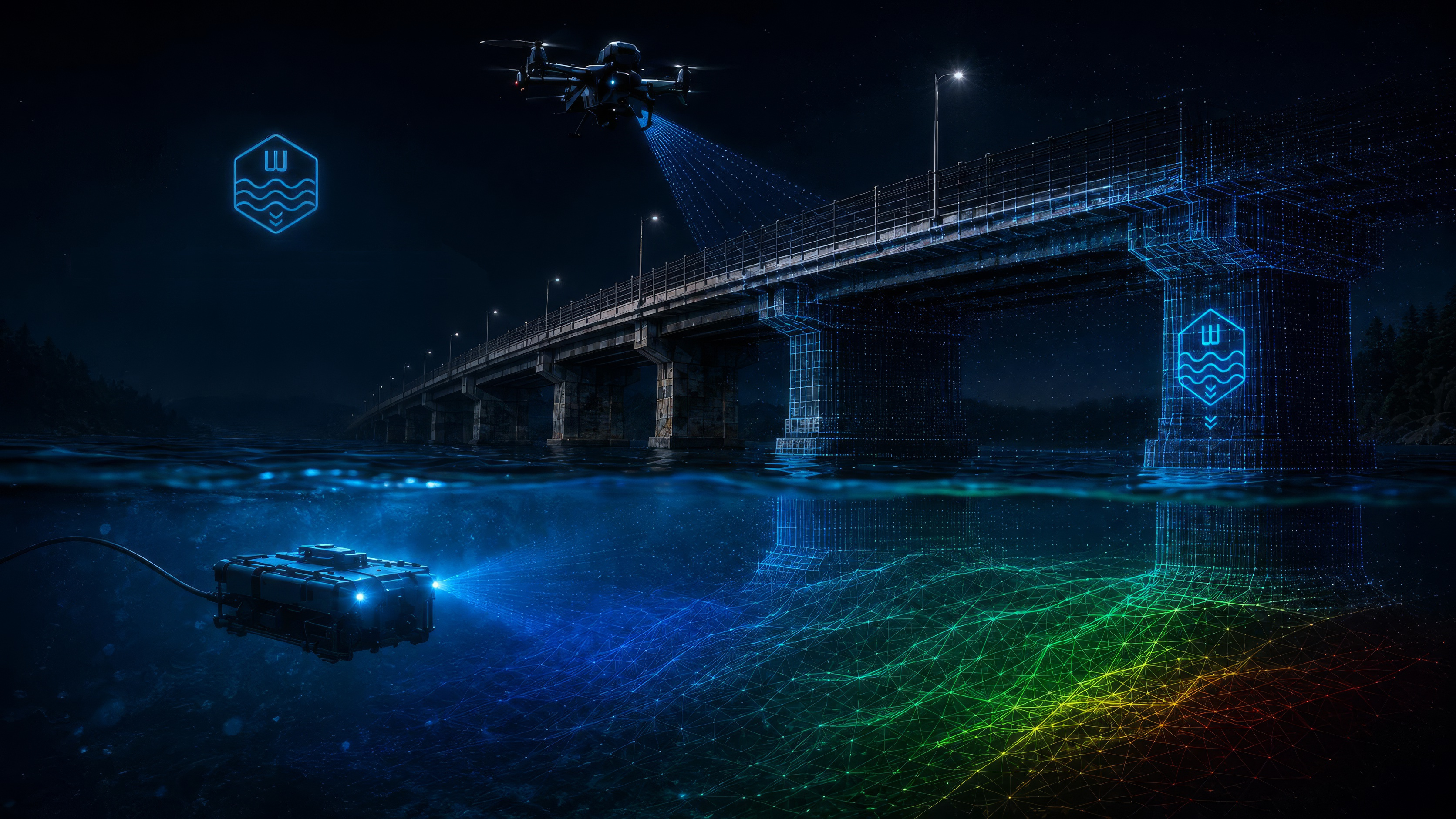
That is exactly what the combination of ROV and sonar is for. The ROV supplies imagery and video of the surface, the multibeam echosounder the shape of the bed and the structure's base as a dimensionally accurate model – even at zero visibility. Together they produce a condition picture the inspection engineer can assess, instead of a note saying “not accessible”.
Responsibility for the safe condition stays with the asset owner; the technical assessment is the inspection engineer's responsibility. Our contribution is the traceable data basis: when it was surveyed, with what, in which reference system, at what accuracy achieved – all documented in the report and backed by unaltered raw data. That makes it demonstrable what existed at the time of survey.
No, and it is not meant to. The inspection and the condition rating remain with the qualified inspection engineer. We supply the part they otherwise cannot reach – dimensionally accurate, georeferenced and documented. Our software displays and measures; it does not assign condition ratings.
For condition assessment, yes. An ROV works without decompression stops, without bottom-time limits and without anyone having to enter current, cold or zero visibility. Divers remain necessary where something genuinely has to be gripped, cleaned or installed – that is, for working, not for looking.
In Germany all diving work falls under DGUV Regulation 40 and may only be carried out by appropriately qualified divers – with everything that entails in certificates, supervision and standby personnel. Cases have become known in which underwater structural assessments on bridges were carried out by rescue divers, that is, without the required qualification. An ROV removes the question from the tender altogether, because nobody enters the water.
Yes. A robotic deployment needs no dive team with standby personnel, no bottom-time planning and no decompression organisation, which makes scheduling considerably easier. That practical difference matters most after a flood, when many owners want inspections at the same time.
The standards require that the condition be established and documented – not which device is used. What counts is that the result is meaningful, traceable and usable by the inspection engineer. A dimensionally accurate, georeferenced survey with imagery, video and a sonar model generally does that better than a verbal diver report.
No. The ROV works in the filled state – without dewatering, without interrupting operations and without the confined-space rules, because nobody enters. For operators this is usually the larger cost item than the inspection itself: a shutdown costs generation, draining costs time and water-law procedure.
For a pure survey run, usually not – nothing is installed, removed or altered. Responsibilities and conditions do differ by watercourse, navigation status and region, however. We clarify that with you before the date, so that nobody stands in front of a locked gate on the day.
Sonar needs no visibility, because sound travels through turbid water as well – so we get geometry in practically all conditions. Turbidity is the limit for the camera; the survey then delivers shape and dimension but less surface detail. Strong current and flood flow are the real operational limit, and there we plan the window by gauge level.
Then the right sequence is: survey first, targeted intervention second. Knowing beforehand exactly where the spot is and what it looks like means divers or equipment are needed only at that point instead of for an area search. That shortens the expensive part of the job considerably.
It comes down to a few variables: the number and type of structures, water depth and current, whether only a visual inspection or an area-wide survey is needed, and travel. We quote a fixed price on the basis of a short description of the object – location, structure type and the required result are enough for a firm offer.
For pure condition assessment usually yes, but the difference lies less in the day rate than in everything around it: no standby personnel, no bottom-time limits, no dewatering, no lost production. On top of that the result is reusable – the survey serves as the baseline at the next inspection cycle. A serious comparison needs your specific structure, not a blanket statement.
Four things make offers comparable: first the structure and scope (which piers, which areas, what depth), second the required result (imagery and video only, or a dimensionally accurate bed model and scour survey), third the reference system for horizontal position and height, fourth the handover formats. Leave out the third or fourth and you receive offers that cannot be compared. We can supply wording for this on request.
Location of the structure, its type (bridge, weir, power plant, quay wall), approximate water depth, whether there is bank access or a slipway, and what you want to hold in your hands at the end. A photograph and the structure number are entirely sufficient for a first estimate.
A single structure is typically done in a day, often in half. It takes longer with several piers, large bed areas or difficult access. Processing and the report follow afterwards – the survey day itself does not block your operations.
That depends primarily on the gauge: while flood flow is running, a survey is neither sensible nor safe. As soon as discharge allows, equipment and boat are on the trailer and can be moved at short notice. Call early – then the date is set for the moment the water permits.
Yes, and it reduces the cost per structure noticeably, because travel and set-up occur only once. For municipalities and road authorities with several objects on the same watercourse this is the usual route. A multi-year framework agreement with a fixed cycle is also possible.
Yes, that is a common arrangement: the consultancy is responsible for the inspection under DIN 1076 or RVS, and we supply the underwater portion as input. Results come in the formats the office already works with, so they can flow straight into the inspection report.
The focus is Austria; assignments in Germany and neighbouring countries are possible by arrangement. Equipment and boat are trailer-transportable, so remote stretches of water are reachable too. With several objects in one region we plan the journey as a bundle.
An inspection report as a PDF with reference system, survey date, equipment, operator and accuracy achieved, plus every finding with number, category, severity, coordinates and photographs. Alongside it the 3D model of the survey, which you can view and measure yourself, and a folder of technical files for your design office. Not a stack of PDFs nobody can calculate from.
Yes. Access to WAKATEC INSPECT is part of the assignment – either in the browser without installation or as a program for Windows. It lets you rotate the structure, take your own measurements and show the condition in a council meeting or departmental review without depending on a consultant.
Yes, in the formats already in use there: DXF R12 for the drawing, LandXML for the terrain surface as a TIN, ESRI ASCII grid for the terrain model and CSV for findings and cross sections. AutoCAD, BricsCAD, Civil 3D, ProVI, CARD/1 and QGIS read these directly. The survey is therefore also available as an as-built basis for a BIM model.
The inspection report is a PDF and can be filed directly, and the findings list is additionally provided as CSV with coordinates, category and severity, so entries can be taken over without retyping. There is no direct interface to bridge management databases such as SIB-Bauwerke; which fields you need we agree beforehand if required.
Yes – that is the real value of a digital survey. Elevation profiles can be computed against an older survey; the chart then shows the earlier elevation and the difference per chainage, and the CSV contains both columns. Two survey dates thus become a defensible statement about erosion, deposition or scour progression rather than an impression.
Sensor datasheet figures apply under ideal conditions and are not the accuracy achieved in the field. What matters is what the ground control points deliver at the object – current, depth, vegetation and satellite reception all play a part. The value actually achieved is determined per assignment and stated in the report; we would rather name it honestly than flatter it.
The survey is yours. There is no cloud requirement: all project data sits locally on your machines, and the browser version too loads files only into the browser's memory without transmitting them to us. No disclosure to third parties takes place – details are in the privacy statement.
Yes. The handover package is deliberately built so that the recipient needs nothing from us: open formats, one folder, and a README explaining the contents. You can pass it on unchanged to your design office, a contractor or the next department.
The complete survey data is handed over to you, so archiving is in your hands and does not depend on us. Whether and for how long we additionally keep a backup is agreed in the contract. This matters particularly for comparison surveys over many years and should not be left to chance.
The bed survey with the multibeam echosounder answers exactly that: the scour hole around the pier base is captured as an area-wide model from which depth, extent and volume can be read. In the elevation profile you place a section through the scour and read the depth directly off the chart – referenced to your height datum, not to a water level.
By surveying twice and overlaying the results. The comparison computes the difference per chainage and turns “looks deeper” into a figure in centimetres. That is why the first survey is worth doing even when nothing looks alarming: it is the baseline against which later surveys are measured.
Yes. The bed is captured area-wide as an elevation model; against an earlier survey or against the design bed level that yields the deposition as a volume. It is the basis for tendering a dredging campaign at all – and later for checking the quantity invoiced.
Yes. The terrain surface is handed over as a LandXML TIN; Civil 3D, ProVI and CARD/1 compute volumes between two surfaces directly from it. The raster DEM as .asc is read by any GIS if a rough calculation is all that is needed.
With usable visibility the camera delivers spalling, cracks, washouts and exposed reinforcement as imagery and video, each located and recorded in the report with number and severity. In turbidity the geometry remains capturable by sonar, the surface detail does not. Assessing the damage pattern is the inspection engineer's task.
Through the bed model compared with the known top of foundation: if the bed lies deeper than the underside of the footing, the footing has been washed free. The elevation profile across the pier base makes this visible on a single sheet of paper – with figures rather than a description.
Yes. Weirs and dams, power plant intakes and outlets, bank and bed protection, quay walls, locks, culverts and siphons, and harbour and mooring facilities are all standard work. The common factor is not the type of structure but the question: the decisive part lies underwater.
Access to WAKATEC INSPECT is part of the inspection assignment – you buy nothing additional. There is no subscription and no cloud requirement. Anyone wanting to use the software independently of an assignment receives terms on request by e-mail.
The browser version runs without installation on Windows, macOS, Linux and tablets – usually the route when IT does not permit software installations. The desktop version for Windows additionally opens very large data packages at full point density; it needs Windows 10 or 11 and sufficient RAM, 16 GB for typical surveys and 32 GB for very large ones.
No, and that is by design. The desktop version works entirely offline – opening, measuring, reports and exports all function without internet. A connection is used only for optional extras: background map tiles, river discharge data and the sync of tool permissions.
Then simply work with the handover folder. Report as PDF, findings as CSV, drawing as DXF, surface as LandXML, terrain model as .asc, photographs as individual files – all in open formats any office can read. The software is an offer, not a prerequisite.
Write us a short note about the structure – location, type and what you need at the end. We usually reply the same working day and add frequent questions to this page.
office@wakatec.at